


Visicom

Correspondence: English
Export: 100
Foundation: 1991
Operation Level: International


01001 Kyiv Ukraine
Phone: +380 44 201 00 86
Fax: +380 44 201 00 26
Web: http://www.visicomdata.com


|
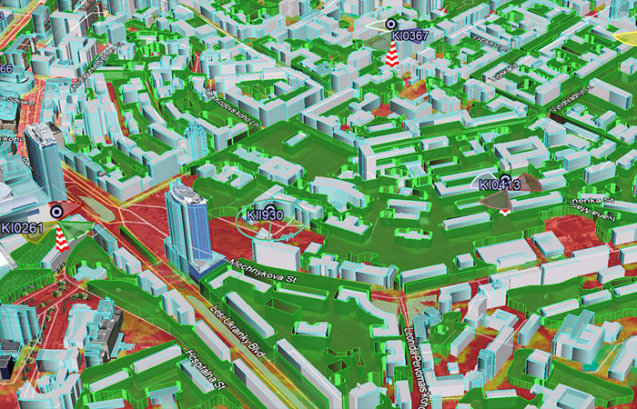
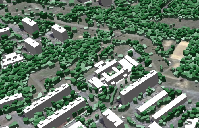
We produce high-quality geodata for telecommunication market, transport management, logistics, LBS, geomarketing, navigation, etc. Our innovative GIS solutions have been meeting demands in geosimulation and spatial calculations execution within various projects objectives for more than 20 years.
|
Digital Mapping Products / Databases for Telecom Sector
International automobile exhibition
31/05/2022 - 02/06/2022
Location IEC - International Exhibition Center
Kiev
Ukraine
International gsm world congress and exhibition
26/02/2024 - 29/02/2024
Location Fira de Barcelona - Gran Via
Barcelona
Spain
International exhibition for the information- and communication industry
29/05/2024 - 31/05/2024
Location Marina Bay Sands
Singapore
Singapore
International trade fair for geodesy and geoinformation
24/09/2024 - 26/09/2024
Location Messe Stuttgart
Stuttgart (changing)
Germany